The river is broken into four segments for fish catch data.
Click here for Rogue River Watershed Map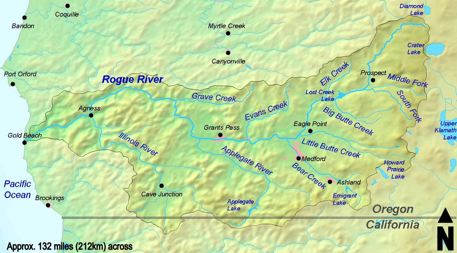
- The Rogue bay to Elephant Rock; from the ocean to two miles above the 101 bridge
- Elephant Rock to Grave Creek; Graves Creek is 12 miles below Indian Mary Park
- Grave Creek to Gold Ray Dam; the since removed dam is above Fishers Ferry Park
- Above Gold Ray Dam; up to Lost Creek Dam